The Bay Area isn’t really “San Francisco” the way most travelers plan it. It’s three distinct cities — San Francisco, Oakland, and San Jose — and a long peninsula in between, connected by BART, Caltrain, ferries, and a fair amount of highway. San Francisco itself is small (about 47 square miles), dense, and famously hilly. Oakland sits across the bay with a different food scene, different weather, and a different attitude. San Jose is 80 km south, drives like a Southern California city, and is where most of the tech industry actually lives. The version of the trip that works picks one as a base and treats the others as day trips.
The Bay Area is one region, not one city
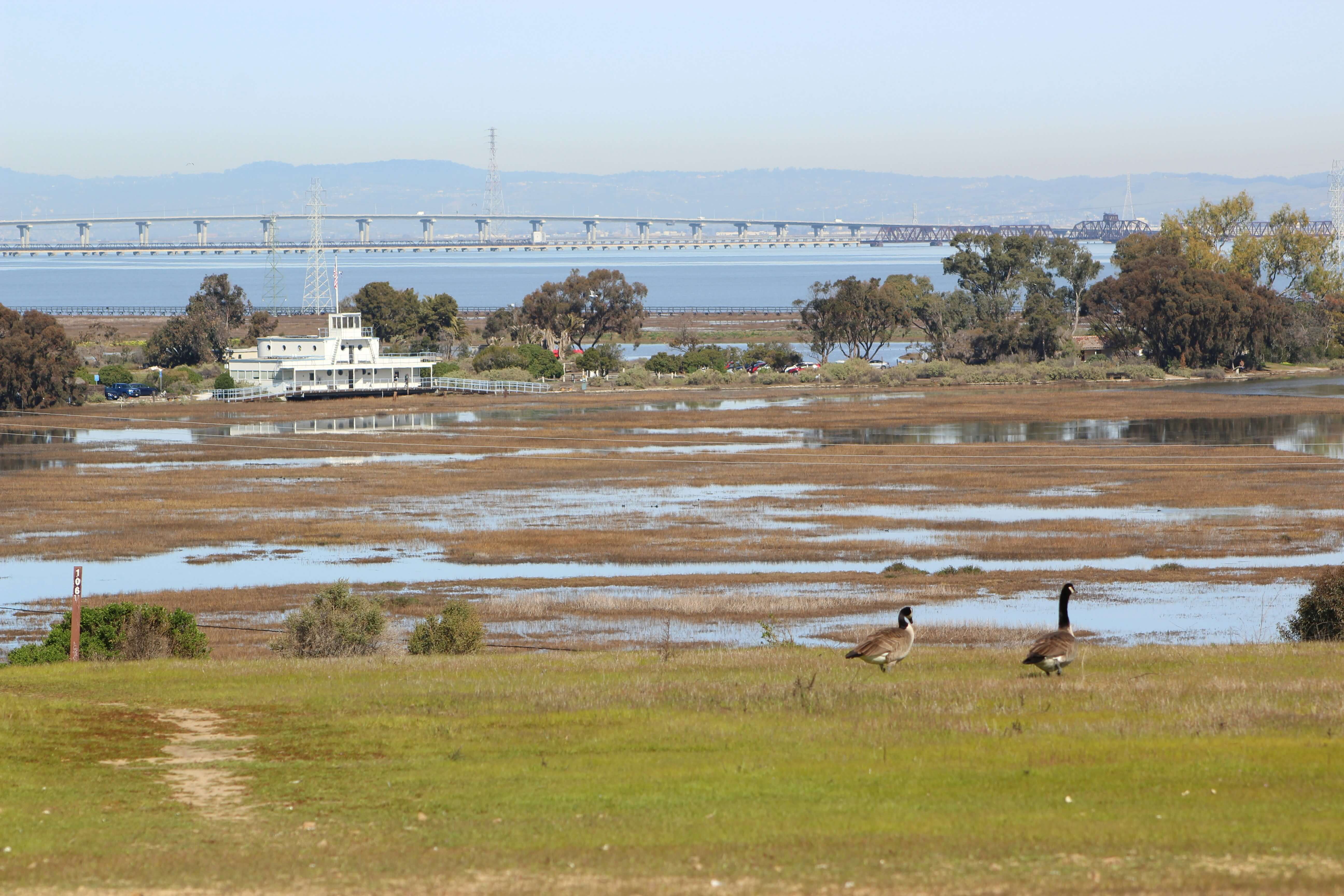
The thing visitors tend to underestimate: the region is huge. San Francisco to San Jose is 80 km. SF to Berkeley is a 30-minute BART ride. SF to Sausalito is a 30-minute ferry. The Pacific Ocean, the Bay, and the Pacific coastal mountains all sit within a 50 km radius of downtown SF — and the weather can be 10°C different between two of them on the same afternoon.
For travelers, the practical breakdown:
- San Francisco — the headline city, with the most famous sights (Golden Gate, cable cars, Alcatraz, Chinatown). Compact and walkable in patches; the Marina, Mission, Castro, and Haight all sit within a few square kilometers of each other.
- Oakland and Berkeley (East Bay) — connected by BART. Better food per dollar, a calmer pace, the UC Berkeley campus, the Oakland hills, Lake Merritt.
- The Peninsula and South Bay — Caltrain runs down the spine, through Palo Alto, Mountain View, and Santa Clara to San Jose. Stanford is here. So is Levi’s Stadium.
- Marin (across the Golden Gate) — Sausalito, Mill Valley, Muir Woods, Mount Tamalpais. Day-trip territory by ferry or car.
The trip works when a visitor picks one of these as the base and uses transit or rideshare to reach the others.
Picking a base: five areas, five different versions of the trip
Union Square / Downtown SF — The default first-time base. Cable cars, shopping, theater, BART and Muni at multiple stations. Hotel density is high; restaurant variety is wide if you walk a few blocks out. Tradeoff: the surrounding Tenderloin blocks have visible homelessness and street issues that catch visitors off guard. Strong base for a short, sights-heavy trip if you stay alert at night.
Nob Hill / Russian Hill — Quieter, more residential, with steep streets and good views. Walking distance to Fisherman’s Wharf and Chinatown. Cable car access on California and Powell. Strong choice for a first visit that wants character over convenience.
The Marina / Cow Hollow — Lower-rise, more local-feeling neighborhood near the Golden Gate Bridge. Walkable to Crissy Field, the Palace of Fine Arts, and the waterfront. Tradeoff: further from BART; you’ll Uber or bus for most cross-town trips. Strong choice for travelers anchored around the Golden Gate or for a calmer base.
Mission / Valencia Street — SF’s most concentrated food and bar neighborhood. Trendy, walkable, BART access at 16th and 24th Street stations. Tradeoff: some surrounding blocks have safety issues comparable to the Tenderloin, and Mission Street itself can feel rough at night. Choose this if food and nightlife are the trip’s gravity.
Across the Bay (Oakland’s Uptown or Berkeley) — A different version of the trip. Quieter, better restaurant value, often nicer weather (warmer, less fog). BART ride to SF in 20–30 minutes. Tradeoff: every SF-side day becomes a transit commute. Strong choice for a longer trip or a calmer second base.
Fisherman’s Wharf hotels work logistically but skew tourist-heavy and don’t have great restaurants. Better to walk over from Nob Hill or the Marina.
Getting around without renting a car
The Bay Area’s transit is fragmented across many systems but mostly works for visitors.
BART (Bay Area Rapid Transit). Heavy-rail backbone running through downtown SF, under the bay to Oakland, and out to Berkeley, San Jose, the airport (SFO), and points east. The single most useful tool. Fare varies by distance, roughly $2.50–$10.
Muni. SF’s local transit — buses, the historic streetcars on Market, the cable cars. Useful inside SF for areas BART doesn’t reach (the Marina, the Sunset, the Castro). Fare $2.50.
Caltrain. Commuter rail down the Peninsula from SF to San Jose, stopping at Palo Alto, Mountain View, and points along the way. The right tool for Stanford day trips or Levi’s Stadium during the World Cup.
Ferries. From the Ferry Building to Sausalito, Tiburon, Larkspur, and Vallejo. The Sausalito round-trip is one of the easiest “see SF from the water” experiences in the city.
Cable cars. Three lines, mostly for the experience rather than the practicality. Powell-Hyde is the most scenic. Single-ride fare is $8.
Walking. Real inside Union Square, Chinatown, North Beach, the Mission, the Castro, and the Marina. Crossing between non-adjacent SF neighborhoods is often a Muni or Uber ride because of the hills.
Driving. Optional. Useful for Marin, the Wine Country, or the Pacific Coast Highway south to Half Moon Bay. Parking in SF is expensive; Bay Bridge tolls add up. Most first trips work better without a rental until day 4 or 5.
A reasonable mix: BART for the airport and the East Bay, Muni and walking inside SF, ferry for one day, Uber for late nights.
Bay Area weather: cool summers, foggy mornings, and a microclimate problem
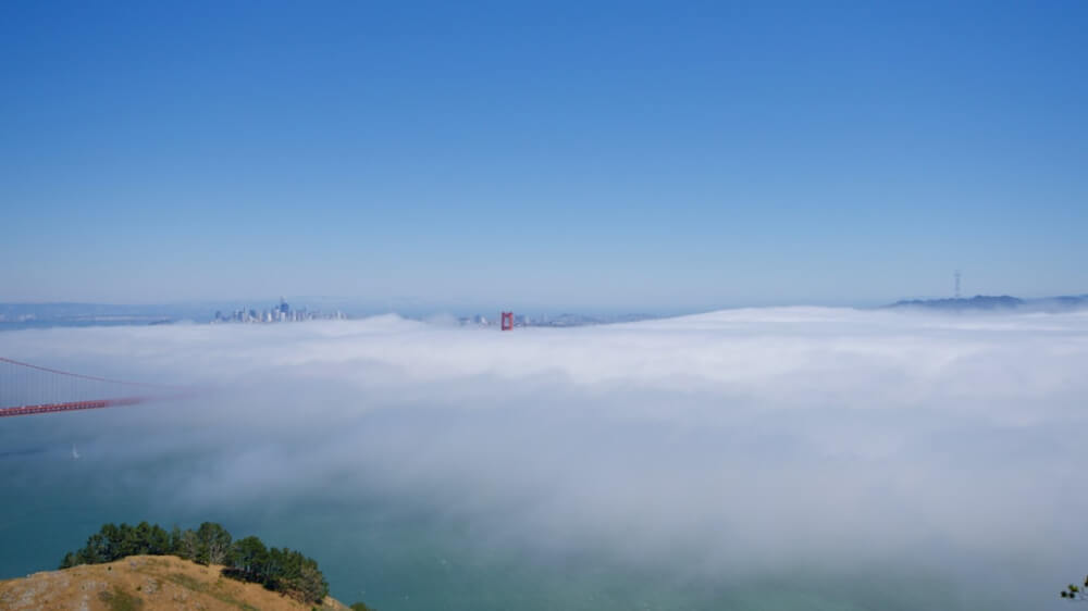
San Francisco summers are counter-intuitively cool. June through August averages 16–22°C (60s to low 70s°F) with foggy mornings (the famous Karl) that often burn off by midday. Mark Twain’s “the coldest winter I ever spent was a summer in San Francisco” wasn’t just a joke — bring a jacket even in July.
The trickier detail is the microclimates:
- SF (the city) — cool, foggy mornings, mild afternoons. Often 16–20°C in July.
- Oakland and the East Bay — usually 3–8°C warmer than SF. Sunnier.
- San Jose and the South Bay — warmer still, often 28–32°C in summer afternoons.
- Marin (across the Golden Gate) — similar to SF, with fog rolling through the gate.
The implication: pack layers, and don’t assume “the Bay Area” has one temperature. The same outfit that’s right for SF at noon may be wrong for Berkeley at 3 p.m.
A loose five-day shape that works
This is the rhythm that produces a good first Bay Area trip.
- Day 1 (arrival): BART from SFO to downtown, settle in. Walk to Union Square and the Ferry Building, low-effort dinner.
- Day 2 (SF classic): Cable car to Lombard, walk down to the Marina, Crissy Field, Golden Gate Bridge view. Dinner in North Beach.
- Day 3 (neighborhood day): Morning in the Mission (Valencia Street, Dolores Park, the murals), afternoon in the Castro, dinner in either.
- Day 4 (across the water): Ferry to Sausalito for the morning, lunch, return for an afternoon at the de Young or Legion of Honor.
- Day 5 (Berkeley / Oakland or Peninsula): BART to Berkeley (UC campus, Telegraph Avenue, Cheese Board) or Caltrain to Palo Alto (Stanford). Pick one based on the trip’s interests.
For longer trips, the easy add-ons are Wine Country (Napa or Sonoma, 1.5 hours by car), Yosemite (3.5 hours by car, a full overnight), or Highway 1 down the coast to Half Moon Bay and Big Sur.
What disappoints first-time visitors
The honest list:
- The weather catches visitors. July fog in SF is real. The Bay Bridge view from Treasure Island can be invisible at 11 a.m. and crystal clear at 2 p.m.
- The hills are real. A 4-block walk can mean climbing 50 meters. Wear shoes that grip.
- The Tenderloin, Mid-Market, and parts of the Mission have severe street issues. Pre-research routes if walking after dark.
- Cable cars have hour-long lines at peak season. The Powell-Mason line is usually faster than Powell-Hyde.
- Tipping math is high. Restaurants increasingly add a “SF mandate” or health fee of 5–6%, on top of which the standard tip applies.
- Cross-Bay trips eat time. SF to San Jose by transit is genuinely 1.5 hours.
None of this makes a Bay Area trip a bad trip. It makes it a trip that rewards picking a base, accepting that you can’t “see the Bay Area” in three days, and treating the bay itself as the connecting feature rather than an obstacle.
Visiting during the 2026 FIFA World Cup? Levi’s Stadium hosts six matches between June 13 and July 1, in Santa Clara — 80 km south of San Francisco. The match-day logistics — the Caltrain-plus-VTA route, the BART-via-Milpitas alternative, the distributed Bay Area fan zones — sit in a separate piece: South to Santa Clara: Levi’s Stadium at the 2026 World Cup.